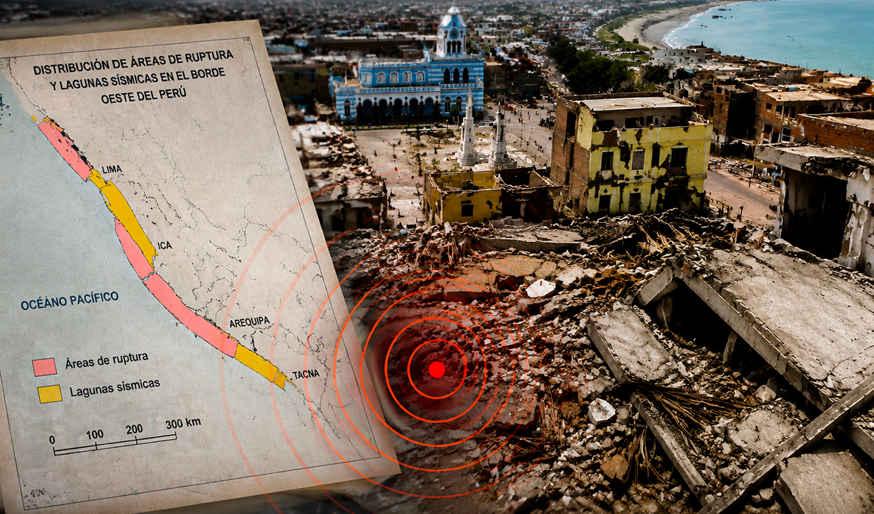
Geophysical Institute of Peru scientists identified a 150-kilometer seismic gap off Pisco two years before a magnitude 7.9 earthquake devastated the region on August 15, 2007.
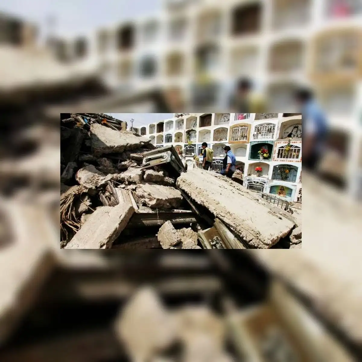
The anniversary marks 19 years since the tremor struck off the coast of Pisco, consolidating as one of the strongest and most destructive seismic events in the country's recent history. A Civil Defense report recorded that 596 people died, more than 1,000 were injured, and 431,313 were left homeless after the 210-second rupture caused widespread destruction across Ica, Chincha, Lima, and Huancavelica.
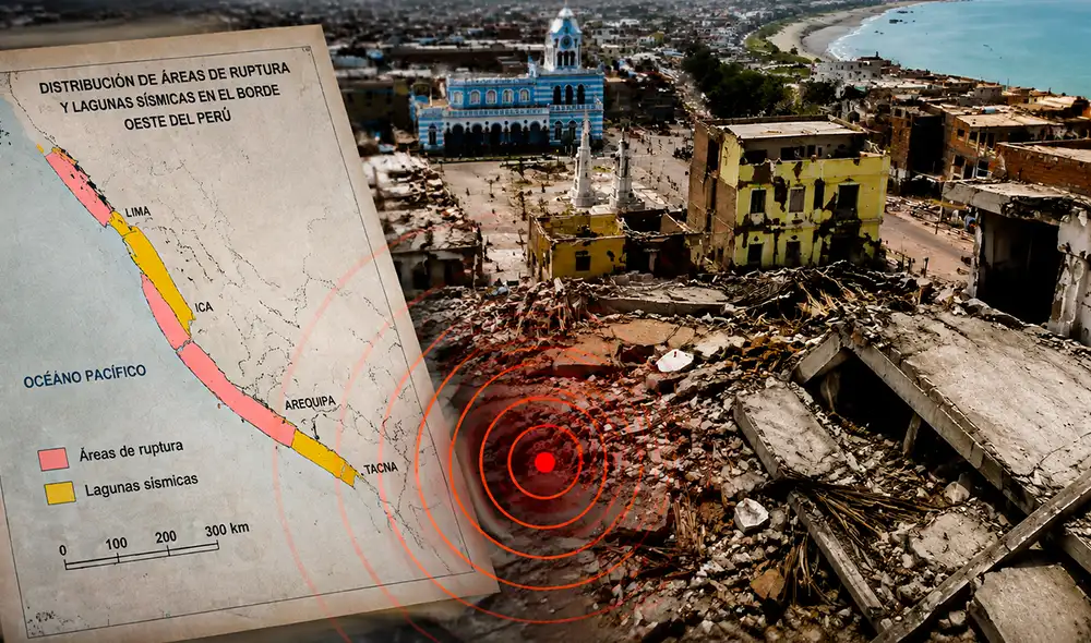
Two years before the disaster, institute specialists Hernando Tavera and Isabel Bernal published a study titled Spatial distribution of rupture areas and seismic gaps in the western margin of Peru in the Bulletin of the Geological Society of Peru. Reconstructing the country's tectonic history from its historical catalog, the researchers defined seismic gaps as inactive strips between past epicenters and highlighted them as areas prone to future earthquakes.
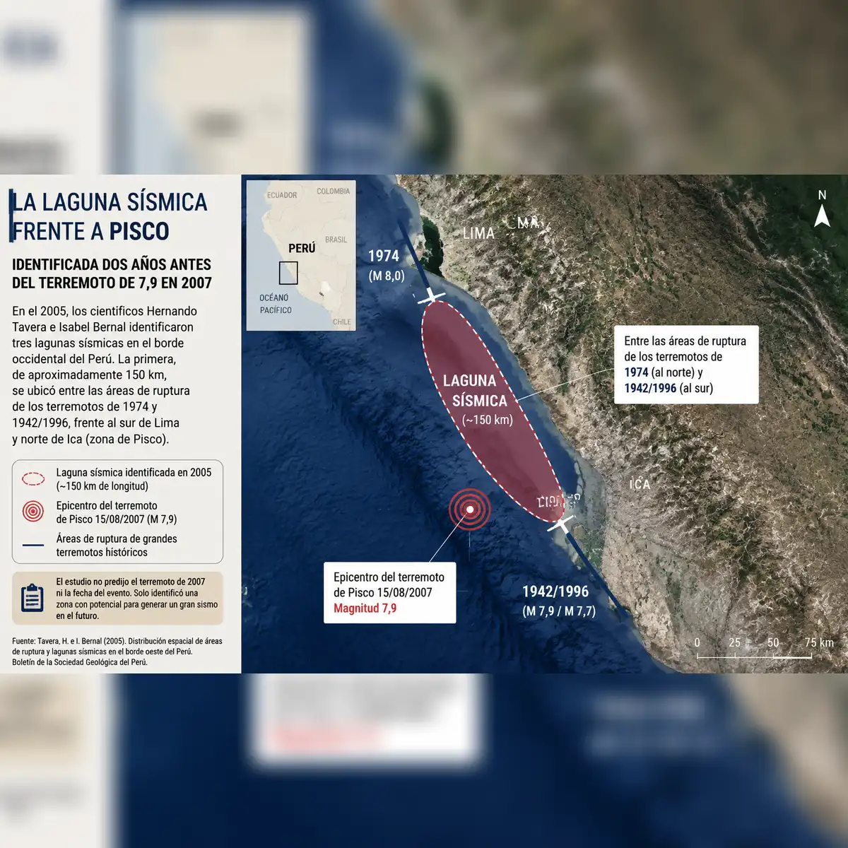
The research detected a 150-kilometer inactive zone trapped between fractures from previous earthquakes in 1974 and 1942/1996. While the preliminary study did not explicitly name Pisco, it physically delimited the high-risk block along southern Lima and northern Ica. In October 2006, ten months before the disaster, a magnitude 6.4 earthquake occurred 90 kilometers west of Pisco, further confirming the structural fragility of the area.
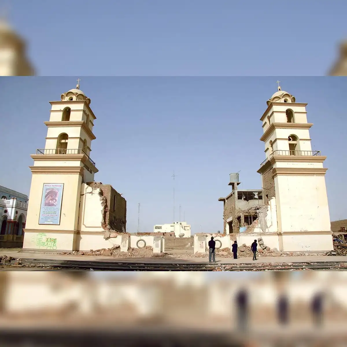
Following the 2007 catastrophe, institute evaluations confirmed that the earthquake epicenter and subsequent aftershocks occupied the exact stretch of coast that lacked prior seismic activity. Later official reports noted that the study by Tavera and Bernal had successfully exposed the 150-kilometer zone off Pisco that was bound to experience rupture. Although geophysics delimited three high-risk seismic gaps, the technology of the era could not predict the precise date or time of the collision.
Active seismic gaps in southern Peru
The 2005 study identified a second inactive sector spanning 90 kilometers south of Ica, located between the rupture zones of 1942/1996 and 2001. Researchers determined that this intermediate space requires constant monitoring due to the risk of generating high-magnitude earthquakes along the subduction margin.
A third seismic gap covers 150 kilometers off Moquegua and Tacna, connecting to a 500-kilometer segment in northern Chile. Situated south of the 2001 fault line, this geographic area holds a historical connection to the destructive 1877 Chilean earthquake.
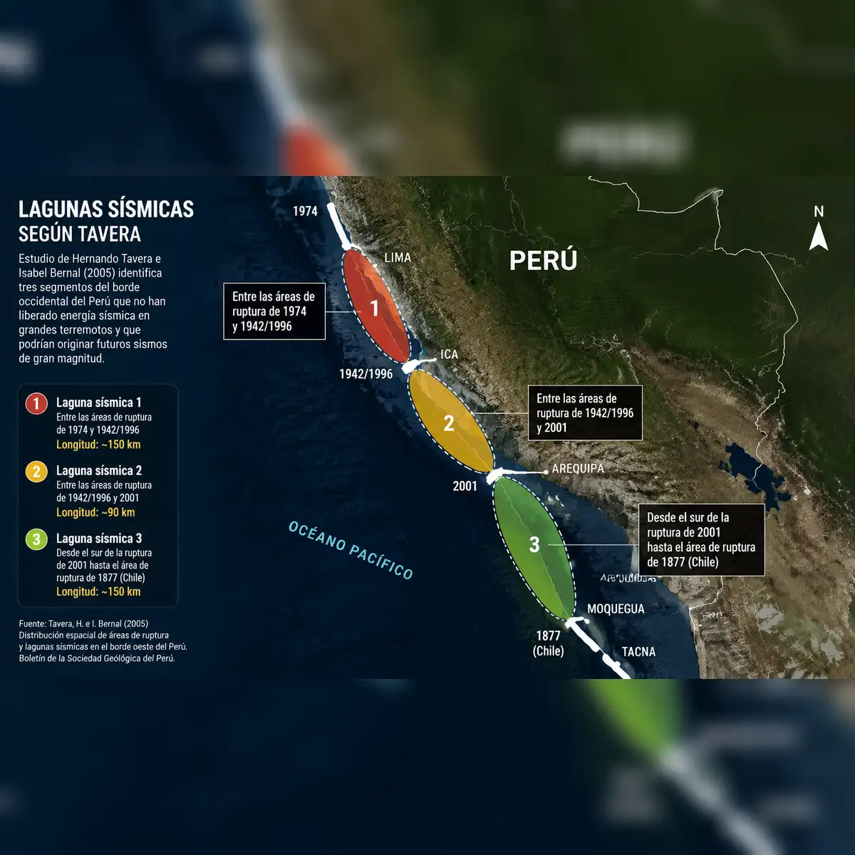
In 2020, the Geophysical Institute of Peru updated these findings using GPS technology, seismicity data, and cortical deformation modeling. Tavera, who serves as president of the institute, outlined two potential hazard scenarios: a projected magnitude 7.9 event in the Ica-Arequipa region and a magnitude 8.2 event in Moquegua-Tacna. He stressed that these assessments represent scientific hazard models rather than predictions with fixed dates.
Earthquake risk and lessons for Lima
The 2007 disaster highlighted that the scale of destruction is directly tied to structural building fragility and public preparedness. Tavera questioned the extent of real progress following the tragedy, writing in an institute analysis six years ago that residents continued building homes in the same vulnerable locations and under identical conditions.
Peru's capital and its primary port of Callao remain areas of intense scientific concern. Institute research from 2020 identified a plate coupling zone measuring 460 by 150 kilometers off their coastline, where friction between the Nazca and South American plates continuously accumulates energy.
Scientific modeling suggests that a complete rupture of this central coupling zone could trigger a magnitude 8.8 megathrust earthquake, comparable to the historic earthquake that devastated the region in 1746. Experts emphasize that the Pisco segment did not release all of its accumulated energy during the 2007 event and remains part of the broader central coast seismic gap. While outskirts in Pisco have expanded, physical damage and scars persist in San Andres cove, Pisco Playa, and the city center.