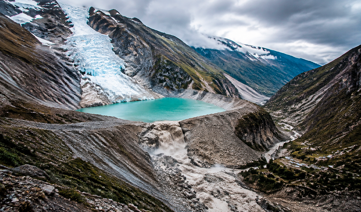
A violent collapse of ice, rock, and mud from the Langtang Lirung glacier in the Himalayas has swept across the border between Nepal and China, burying communities, destroying bridges, and altering river courses.
Initial scientific reports attribute the transboundary destruction to the sudden failure of the Langtang Lirung ice mass. International news agency Reuters reported that the exact sequence of the disaster remains under investigation.
Reports from the region indicate that flash floods and inundations along the Nepalese border with China have left at least 360 people dead and hundreds more missing.
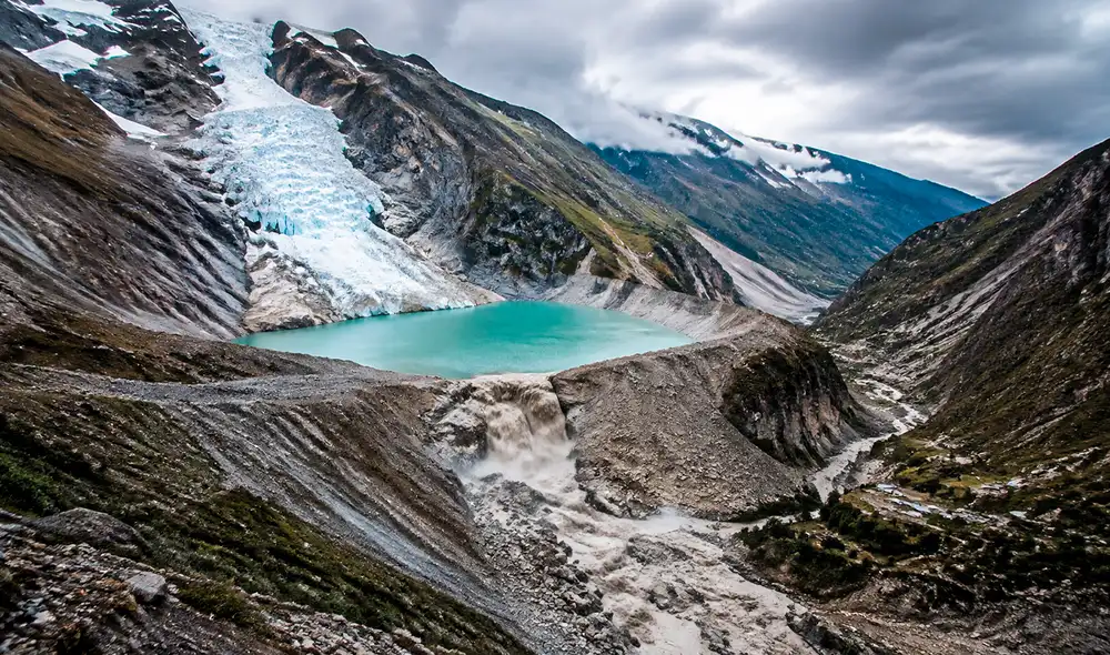
The disaster has renewed global warnings over mountain glacier melting, particularly the threat of glacial lake outburst floods, commonly known as GLOFs. Referred to informally as a sky tsunami because of their extreme speed and violence, GLOFs occur when natural mountain dams holding back glacial meltwater suddenly collapse.
The Himalayas, which span South Asia and hold extensive glacial reserves, have experienced accelerating ice loss in recent decades. UNESCO, the United Nations cultural and scientific agency, warned that such mountain hazards are directly linked to accelerated environmental changes taking place in high-altitude regions. Extreme rainfall, earthquakes, or rock avalanches can breach natural barriers, sending millions of cubic metres of water and debris downhill at high speed.
Scientific investigation of the Himalaya collapse
Despite initial concerns of a lake outburst, scientific experts suspect the recent tragedy along the Nepal-China border may not follow the classic GLOF pattern. The prevailing hypothesis points to a massive landslide directly from the high summit of Langtang Lirung, a 7,227-metre peak in Nepal.
The high-altitude rock and ice fall struck the Lhende Khola River below, setting off a catastrophic chain reaction down the valley. Current evidence compiled by Reuters describes a primary ice collapse followed immediately by a fast-moving debris flow.
Simon Cox, a specialist at the New Zealand earth science research organization GNS Science, noted that the descending mass gathered immense momentum as it moved. Cox said the debris flow dragged rocks, sediment, trees, and everything else standing in its path through the river corridor.
Glacial hazard assessment in the Peruvian Andes
The catastrophic event in Asia has drawn immediate attention across the Pacific to South America, where the Peruvian Andes face comparable environmental vulnerabilities. Peru's National Institute for Research in Glaciers and Mountain Ecosystems, known as INAIGEM, warned that Peru's high mountain peaks display risk factors identical to those seen in the Himalayas.
Peru contains the majority of the world's tropical glaciers, predominantly located along the Cordillera Blanca range. Rapid glacial retreat across the Peruvian Andes has created hundreds of unstable proglacial lakes perched above populated mountain valleys.
A comprehensive national assessment conducted by INAIGEM identified 528 natural reservoirs across Peru that carry a structural danger of collapse. These hazardous water bodies are distributed across eight mountain departments: Áncash, Cusco, Lima, Puno, Junín, Huánuco, Pasco, and Arequipa.
Among those surveyed, INAIGEM classified 58 glacial lakes as presenting a very high level of physical threat alongside severe exposure to downstream populations.
Mitigation efforts at Lake Palcacocha
Scientific authorities consider Lake Palcacocha to be the most critical hazard site in Peru. Situated in the Cordillera Blanca high above the provincial capital of Huaraz, the volume of Lake Palcacocha expanded 34 times between 1972 and 2016 as surrounding glaciers melted into the basin.
INAIGEM calculations indicate that a major outburst flood from Lake Palcacocha would directly threaten more than 27,000 residents in Huaraz. The city previously suffered a devastating glacial outburst flood in 1941 that destroyed neighborhoods and killed thousands of residents.
To prevent a repeat of historical disasters, local communities in the Cordillera Blanca have spent decades implementing risk mitigation strategies. UNESCO reported that local authorities and engineering teams have maintained controlled siphoning to lower lake water levels while reinforcing natural containment dikes.
Climate pressures and early warning priorities
The ongoing climate crisis continues to accelerate the melting of mountain glaciers, constantly forming new meltwater reservoirs in high-altitude basins. Environmental scientists emphasize that the recent Himalayan disaster demonstrates how a single high-altitude collapse can trigger destructive downstream avalanches within minutes.
In response to growing environmental risks, regional authorities in mountain zones are prioritizing the installation of early warning systems. Officials are also focusing on establishing clear valley evacuation routes and constructing heavy containment works to protect vulnerable settlements.