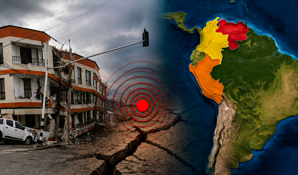
A magnitude-7.2 earthquake in southern Peru followed major seismic events in Colombia and Venezuela, but geologists have ruled out any causal link or chain reaction between the tremors.
The Peruvian quake struck 108 kilometers beneath the surface, centered 35 kilometers north of the town of Coracora in the southern department of Ayacucho. It came after a magnitude-7.4 earthquake hit Colombian territory and a series of powerful, shallow tremors shook northern Venezuela, sparking public concern that the events across South America were connected.
Despite their close timing, experts say the earthquakes occurred independently along distinct fault systems with vastly different depth profiles across the Andean and Caribbean regions.
Seismic autonomy and depth contrasts
Arancha Izquierdo, a seismology expert at Spain's National Geographic Institute, told the newspaper El Pais that a coincidence in dates does not mean one earthquake triggered another. She explained that seismic waves propagate broadly over distance, comparing the effect to throwing a stone into water, where the circle expands as distance from the point of impact increases.
Professor Carlos Alberto Vargas of the National University of Colombia illustrated the independence of the tremors by comparing them to two wooden boards subjected to heavy stress, noting that when one board breaks, it is not necessarily the cause or the effect of the other breaking.
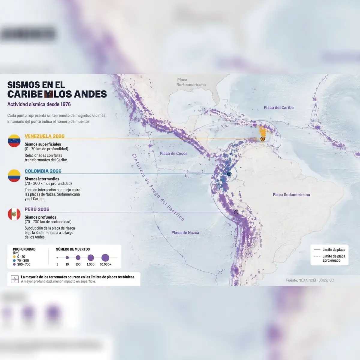
Tectonic depth marks a sharp distinction between the three countries' seismic events. The Peruvian earthquake originated 108 kilometers deep inside the subduction zone where the oceanic Nazca Plate slides beneath the continental South American Plate. According to the United States Geological Survey, the Nazca Plate converges with South America at a rate of roughly 70 millimeters per year along a tectonic arc stretching more than 7,000 kilometers.
In Colombia, the focal depth of the 7.4-magnitude tremor reached 100 kilometers underground. That region sits at a complex tectonic intersection where the Caribbean Plate interacts alongside the Nazca and South American plates.
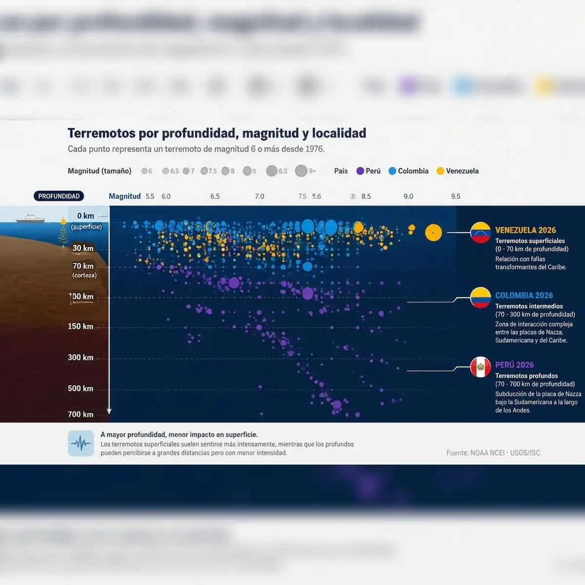
By contrast, Venezuela experienced much shallower earthquakes driven by transform faults and lateral strike-slip movements in the northern part of the country. Because shallow earthquakes concentrate energy closer to the surface, they alter the immediate impact felt by populated areas.
The Pacific Ring of Fire and regional hazards
The western boundary of South America forms a key segment of the Pacific Ring of Fire, a 40,000-kilometer seismic belt encircling more than 20 countries. The belt accounts for approximately 90 percent of the world's earthquakes. Vargas noted to El Pais that this active zone extends continuously from Chile to Alaska.
Along the South American coast, the ongoing subduction of the Nazca Plate drives the geological uplift of the Andes mountain range, fuels active volcanism, and generates frequent seismic shocks. The United States Geological Survey points out that convergence rates and subduction dynamics vary along the continent, continually reshaping the Earth's crust.
Human populations in the Andes have coped with seismic hazards for millennia. In Peru, ancient civilizations developed earthquake-resistant building techniques long before modern engineering powers, constructing pyramids 5,000 years ago that remain standing today in sites such as Caral.
The Bucaramanga nest and urban prevention
Geological interaction between the Nazca, South American, and Caribbean plates makes Colombia one of the most complex tectonic environments in the world. The country houses the Bucaramanga seismic nest, a concentrated zone of deep seismic activity that records around 40 tremors every day and ranks as the world's second most active site for seismic energy release.
Reporting by El Pais confirmed that the Bucaramanga nest operated independently and had no connection to the seismic event recorded on August 10.
Although tectonic mapping allows scientists to identify high-risk zones, experts emphasize that exact dates and times for future earthquakes cannot be predicted. Stressed rock along geological faults holds energy until its structural resistance fails, causing a sudden release of force.
Geologists stress that public safety relies on risk prevention through earthquake-resistant infrastructure and strict urban planning rather than attempting predictions. Izquierdo warned that communities must recognize that seismic vulnerability is constructed on the surface through human development, while Vargas urged governments to adopt proactive public policies instead of relying on reactive measures.