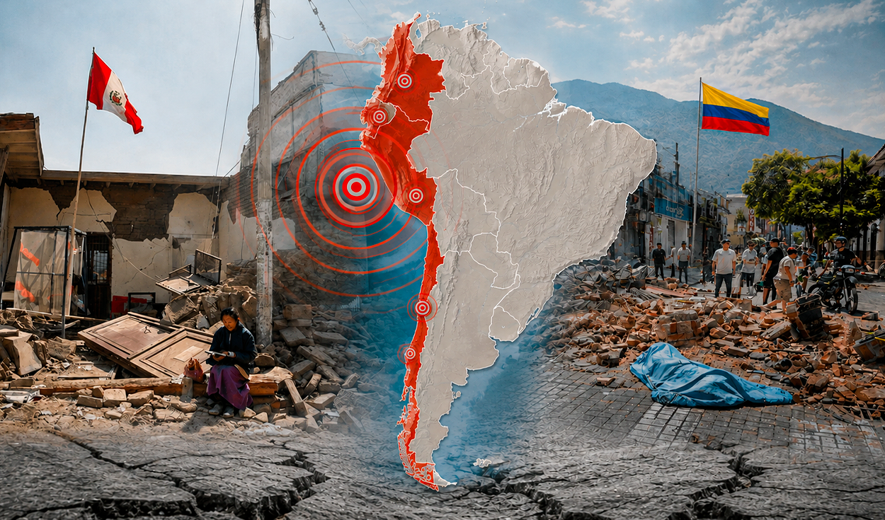
A magnitude 7.4 earthquake in Colombia has reopened scientific debate over how tectonic fractures behave far from where a quake originates. The United States Geological Survey (USGS) located the quake about 5 kilometers east of San Jose del Palmar, in the Choco department.
High-energy events like this one let scientists study how seismic waves travel and how stress transfers across huge distances. South America holds an extensive subduction zone prone to triggering faults far from a main rupture, and USGS records show past large earthquakes have raised the rate of tremors in regions far from the original break.
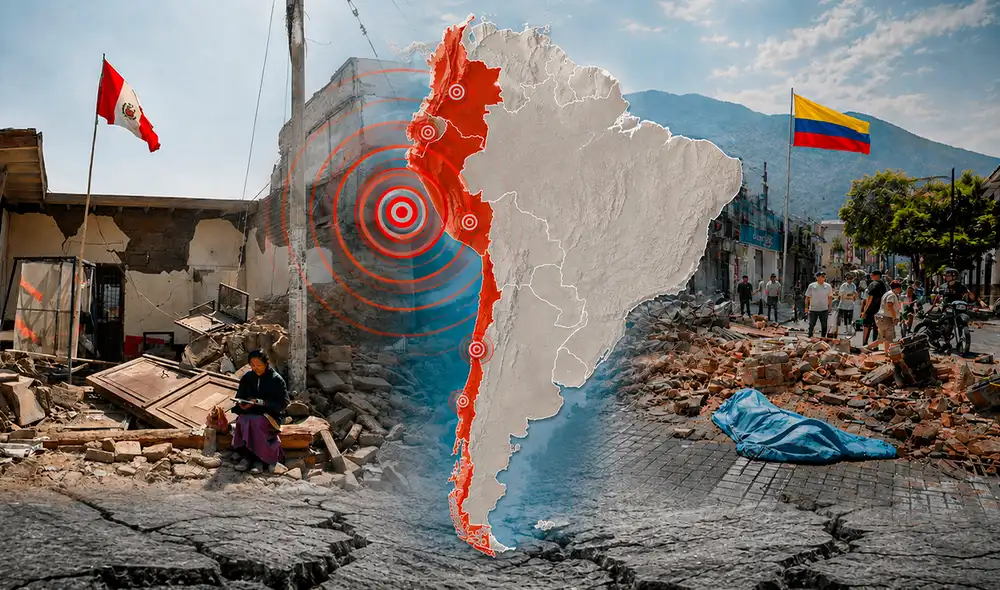
Could the Colombia earthquake activate faults elsewhere in South America?
According to the USGS, a very large seismic event sometimes triggers tremors in distant regions, a phenomenon known as dynamic triggering. It happens when waves from the initial quake pass through unstable zones or volcanic structures prone to losing ground stability.
The USGS points to historical earthquakes as evidence, including Landers in 1992 (M7.3), Denali in 2002 (Mw7.9) and Sumatra in 2004 (M9.1). Energy disturbances from those quakes traveled more than 10,000 kilometers, though the vast majority of tremors triggered at such distances turn out to be minor.
The USGS said that while the physical mechanism exists to temporarily disturb unstable faults in South America, it is not possible to predict a remote earthquake in neighboring countries such as Ecuador, Peru or Chile. The agency said the interaction depends on multiple geological variables, and that direct aftershocks only extend two to three fault lengths from the main rupture.
What is the difference between magnitude and intensity?
Magnitude reflects the physical size of a tremor as a single value. Experts use moment magnitude (Mw), calculated from the rigidity of rocks and the size of the fault area. Because the scale is logarithmic, the USGS said each one-unit increase represents ten times more recorded amplitude and roughly 32 times more energy released.
Intensity, by contrast, measures how strongly the ground shakes at a specific location and can vary at many points for a single event. The USGS said this depends on distance from the fracture zone, the hypocenter's depth and regional geology, so that two cities at similar distances from the epicenter can experience different shaking if one sits on solid rock and the other on soft ground.
Understanding that distinction matters for interpreting severe earthquakes like the one in Colombia. A high magnitude shows an event's overall energy potential but does not by itself define local damage, and the USGS said knowing both parameters helps avoid assuming that a high magnitude automatically means the same level of shaking or damage everywhere its waves reach.