

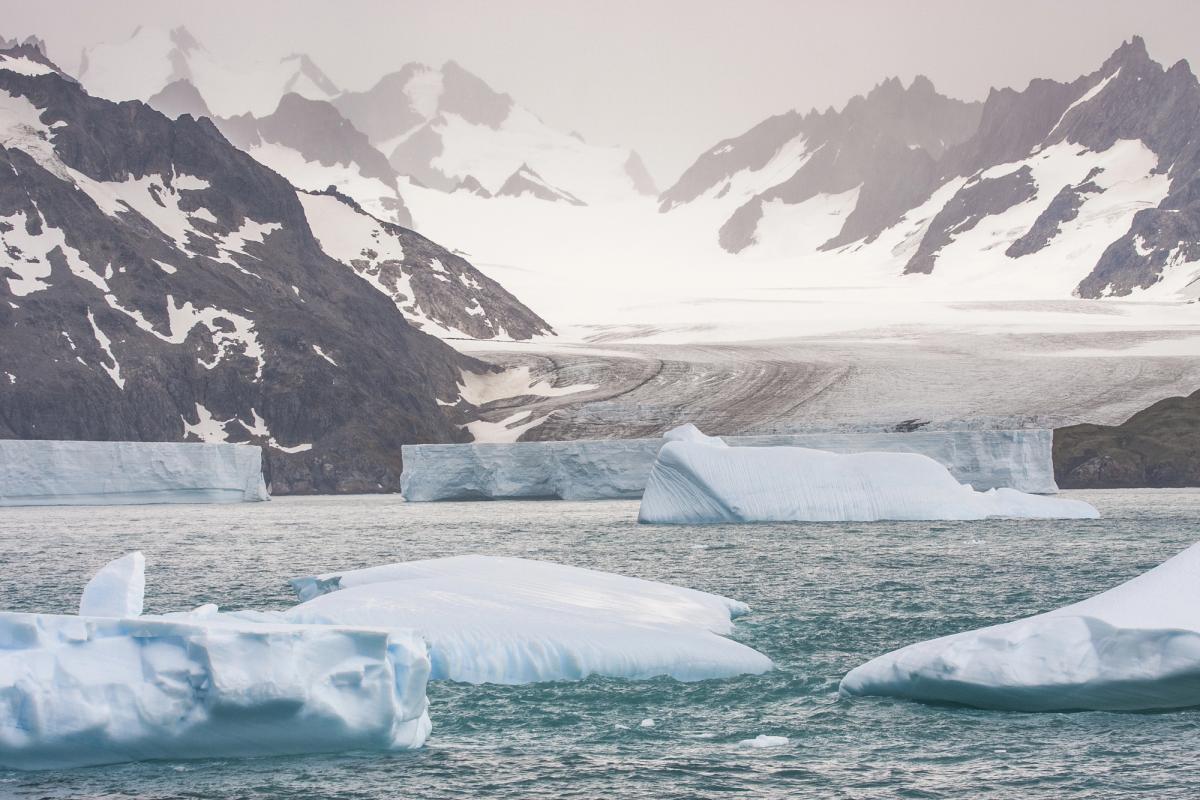
Scientists have warned that the Wilkes Subglacial Basin in East Antarctica holds enough ice to raise global sea levels by three to four metres if its ice sheet collapses.
In a study published in the journal Nature Reviews Earth & Environment, researchers concluded that the basin's underlying bedrock topography makes its massive ice sheet vulnerable to rapid instability as the climate warms.
The Wilkes Subglacial Basin is a vast depression in the bedrock situated along the inner side of the Transantarctic Mountains, extending across a distance of roughly 1,400 kilometres.
The Transantarctic Mountains form a colossal mountain range that spans the continent, separating East Antarctica from West Antarctica. East Antarctica contains the East Antarctic Ice Sheet, the single largest ice mass on Earth, holding the vast majority of the planet's glacial ice.
Historically, climate scientists regarded East Antarctica as far more stable and cold than West Antarctica, which has already shown severe ice loss. However, marine basins situated beneath the East Antarctic Ice Sheet mean that the region could become a much more dominant driver of rising global sea levels during prolonged periods of global warming.
Unexplored basin hidden under thick ice
Professor Matt King, an Antarctic researcher at the University of Tasmania and lead author of the new study, described the Wilkes Subglacial Basin as probably the last unexplored place in Antarctica. He stated that researchers had no direct mapping data from the seabed and possessed very little information on ocean conditions that could trigger future melting.
The University of Tasmania, located in the Australian island state of Tasmania, is a prominent international hub for polar and marine science. Because the Wilkes Subglacial Basin lies entirely buried beneath kilometers of ice, glaciologists have relied on satellite radar observations and ice-penetrating radar flights to infer the structure of the bedrock beneath.
The research team combined existing observational data with computer modeling to project future environmental changes in East Antarctica. Their analysis indicated that ice retreat in certain areas could become exceptionally rapid, potentially reaching about one kilometre per year once the ice margin moves past key protective points on the bedrock.
The region is part of the marine portion of the ice sheet, where the underlying bedrock lies well below sea level. In marine ice sheet systems, when warming seawater reaches the grounding line where ice detaches from the seabed, the glacier can experience accelerated and irreversible retreat into deeper inland depressions.
Accelerating ice loss at Cook Glacier
The study highlighted that portions of the Wilkes Subglacial Basin were already showing signs of change. Previous observational data recorded the thinning and structural collapse of several ice shelves in the region, while Cook Glacier, the principal glacier draining the basin, has seen its thinning rate accelerate since the 1990s.
Researchers reported that Cook Glacier is currently shedding approximately 40 billion tonnes of ice into the Southern Ocean every year.
King said that evidence from past warm periods in Earth's history provided more than enough reason to sound the alarm about the basin. He added that although the scientific community urgently needed a better understanding of the area, it was difficult to find a living scientist who had actually visited the region in person.
A global sea level rise of several metres would reconfigure coastlines worldwide, increasing coastal erosion and flooding risks for low-lying communities. The researchers behind the study said they hoped their findings would draw urgent scientific attention to the Wilkes Subglacial Basin and prompt new expeditions to fill critical gaps in polar observations.


