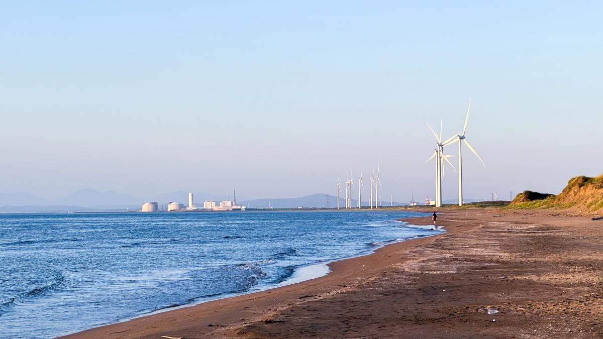
NASA has published simulation maps showing how rising Baltic Sea levels will threaten coastal Poland with permanent flooding and severe storm surges over coming decades.
Reports from the Intergovernmental Panel on Climate Change and the Climate Crisis Committee at the Polish Academy of Sciences state that water levels in the Baltic Sea will continue to climb systematically throughout the 21st century.
The Intergovernmental Panel on Climate Change is the United Nations organization responsible for assessing climate science, while the Polish Academy of Sciences is Poland's primary state scientific institution. NASA, the United States space agency, monitors global sea level changes through its Earth observation satellite network.
The Baltic Sea is currently rising at a rate of roughly 5.8 millimetres per year. Despite this long-term upward trend, short-term water levels remain subject to extreme weather fluctuations. According to regional news outlet Trojmiasto, a record water level drop of 67 centimetres below normal occurred at the start of 2026 due to strong winds.
Scientists project that residents of the Pomerania region will face increasingly severe consequences from climate change in the coming decades. Pomerania is a historical and administrative region situated along Poland's northern Baltic coastline.
On a global scale, the Intergovernmental Panel on Climate Change projects that seas and oceans will rise by 0.28 to 1.01 metres by the year 2100. The final result depends primarily on how quickly and effectively global greenhouse gas emissions can be reduced.
For the Polish section of the Baltic coast, scientific forecasts point to a relative sea level rise between 0.3 metres and 0.7 metres by the end of the 21st century. Under the most pessimistic scenario, which assumes that high emissions continue unabated, water levels could rise by more than one metre.
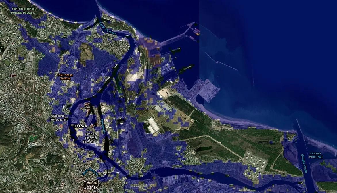
Threats to Gdansk and Zulawy depression lands
Experts at the Polish Academy of Sciences have highlighted a dangerous increase in both the frequency and intensity of hazardous storm surges. These storm surges are projected to cause regular flooding in the historic centre of Gdansk and the city's lowest-lying areas by the end of the century.
Gdansk is a major Polish port city on the Baltic coast and the capital of Pomerania, renowned for its maritime heritage and medieval architecture. The city's low elevation makes its historic districts vulnerable to rising water levels during extreme weather events.
The most vulnerable area in Poland remains Zulawy Wislanie, where large portions of land sit in depressions up to two metres below sea level. Zulawy Wislanie is the delta region of the Vistula River, the longest river in Poland, which empties into the Baltic Sea.
Under the worst-case scientific projections, a low-lying coastal strip extending from Gdansk to Elblag could be submerged permanently. Elblag is a historic city located near the Vistula Lagoon in northern Poland.
Risk of cutting off the Hel Peninsula
The Gdansk Bay region faces further complications from soil subsidence. Land sinking in combination with rising water levels increases local flooding risks and complicates water drainage operations across coastal infrastructure.
Alarming projections also target the Hel Spit and its popular tourist resorts. The combination of higher sea levels and stronger storms threatens to breach the narrow strip of land and cut off the Hel Peninsula from the Polish mainland.
The Hel Peninsula is a 35-kilometre sandbar peninsula that separates Gdansk Bay from the open Baltic Sea. It is one of Poland's most prominent tourist destinations, attracting visitors to its coastal beaches each summer.
Scientists report that coastal cliff erosion and the destruction of tourist and coastal infrastructure will progress alongside rising waters.
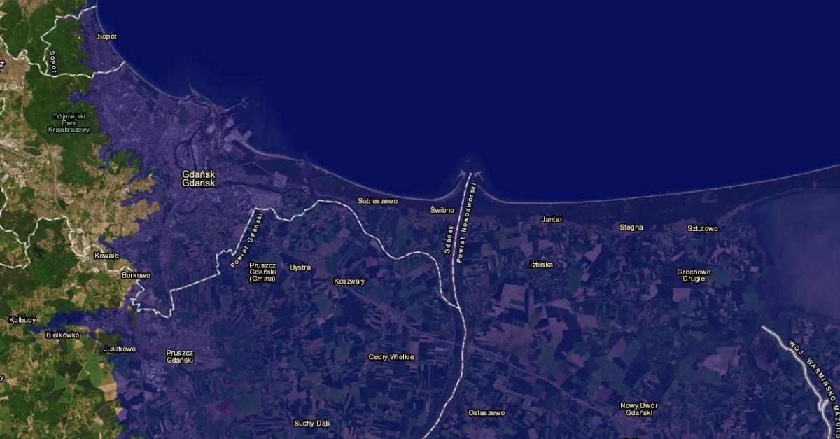
The simulation maps published by NASA allow users to examine projected sea level changes as well as speculative scenarios, including a hypothetical 60-metre sea level rise.