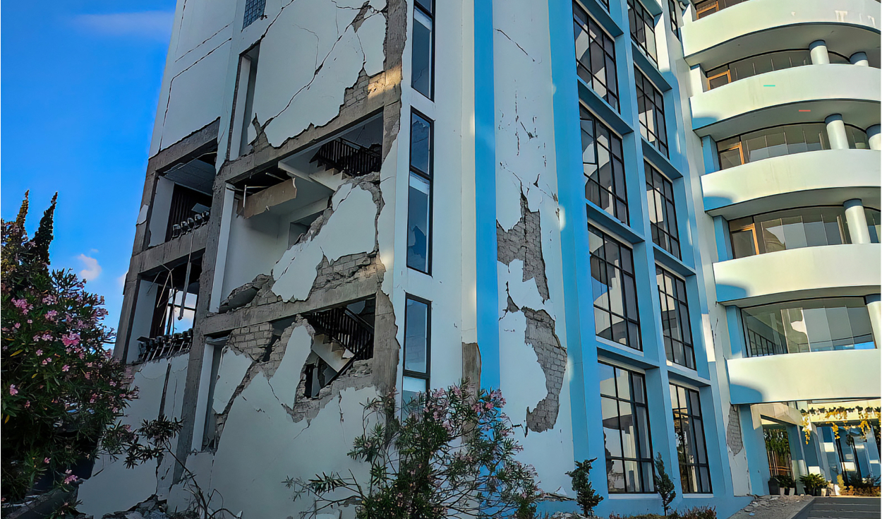
A powerful 7.7 magnitude earthquake struck off the coast of Ende in Indonesia's East Nusa Tenggara province early on Saturday morning, triggering immediate tsunami warnings.
The tremor occurred at 5:58 a.m. local time at a depth of 10 kilometers, positioned 68 kilometers northeast of Ende, according to data recorded by the United States Geological Survey.
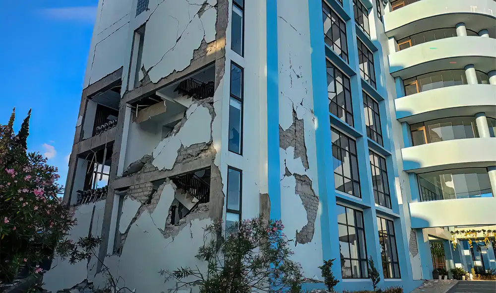
A strong aftershock measuring 6.3 in magnitude shook the same offshore region just 15 minutes later at 6:13 a.m. local time, the European-Mediterranean Seismological Centre reported.
Tsunami alerts and evacuation orders
Indonesia's Meteorology, Climatology and Geophysics Agency warned that the intense seismic activity could generate dangerous tsunami waves along coastal areas.
In response to the threat, the agency advised local municipal authorities across designated alert zones to issue immediate evacuation instructions to residents, urging them to move inland and clear beaches and riverbanks without delay.
Ende, a coastal city situated on the southern shore of Flores Island, lies within the seismically volatile province of East Nusa Tenggara, where coastal communities face heightened risk from marine surges caused by undersea fault disruptions.
Impact estimates and landslide hazards
Preliminary exposure modeling by the United States Geological Survey indicated that approximately 500,000 people experienced very strong shaking across the surrounding region.
Seismologists at the agency noted that ground motion of such intensity is capable of causing light to moderate structural damage in well-built, earthquake-resistant edifices, while posing severe risks of heavy destruction to vulnerable or non-reinforced buildings.
Furthermore, computerized ground fault models developed by geological analysts suggest a significant potential for earthquake-triggered landslides in the mountainous terrain surrounding the affected zone.
Tectonic location on the Ring of Fire
Frequent seismic volatility is a longstanding reality for Indonesia, an expansive archipelagic state spanning more than 17,000 islands across Southeast Asia.
The island nation sits directly along the Pacific Ring of Fire, a horseshoe-shaped basin of intense volcanic activity and tectonic plate collisions that encircles the ocean from East Asia down through the Indonesian archipelago and across to the western coasts of the Americas.
Because major tectonic plates converge beneath the Indonesian archipelago, the country regularly experiences deep oceanic trenches, active volcanic eruptions, and some of the world's most severe seismic events.
Pacific monitoring and South American response
Across the Pacific Basin, oceanographic institutions monitored the earthquake's potential transoceanic reach following the initial tsunami warnings in Southeast Asia.
The Hydrographic and Oceanographic Service of the Chilean Navy reported on its official website that the technical characteristics of the Indonesian earthquake did not meet the conditions necessary to generate a tsunami along the coasts of Chile.