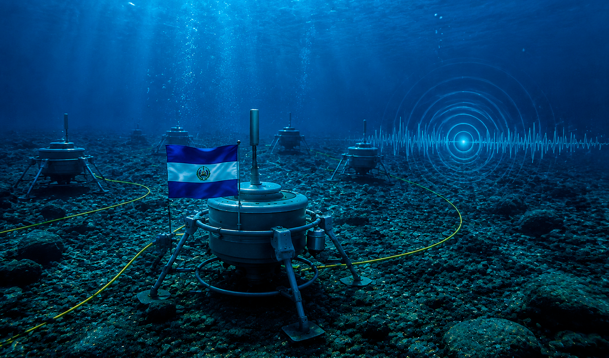
The University of El Salvador will launch an underwater monitoring network in the Pacific Ocean in 2027 to study subduction zone micro-earthquakes and tsunamis. The submerged technological system will track microtremors and crustal deformations occurring between the Cocos and Caribbean tectonic plates off the coast of Acajutla.
By combining sea-floor sensors, geophones, satellite measurements, and fiber-optic cables, researchers aim to capture seismic data that traditional land-based stations cannot detect. Academic authorities from the university clarified that the technology will not make it possible to predict when an earthquake will occur. Instead, officials said the project aims to improve the study of seismic processes and provide vital information to reduce disaster risks.
El Salvador is a Central American nation situated along the Pacific Rim, a region characterized by frequent volcanic and seismic activity. The country sits near the Middle America Trench, where the ocean floor beneath the Pacific Ocean is forced beneath the continental landmass. Subduction zones are boundaries where two tectonic plates collide, with one plate sliding beneath another into the Earth mantle, frequently triggering earthquakes and tsunamis.
The oceanographic deployment will be spearheaded by the Salvadoran National Navy in April 2027. Expedition crews will install six ocean bottom seismometer units in the subduction zone. These instruments will remain anchored to the sea floor for one year at depths ranging between five and six kilometers, positioned 140 kilometers off the coast of Acajutla.
Subsea sensors and retrieval technology
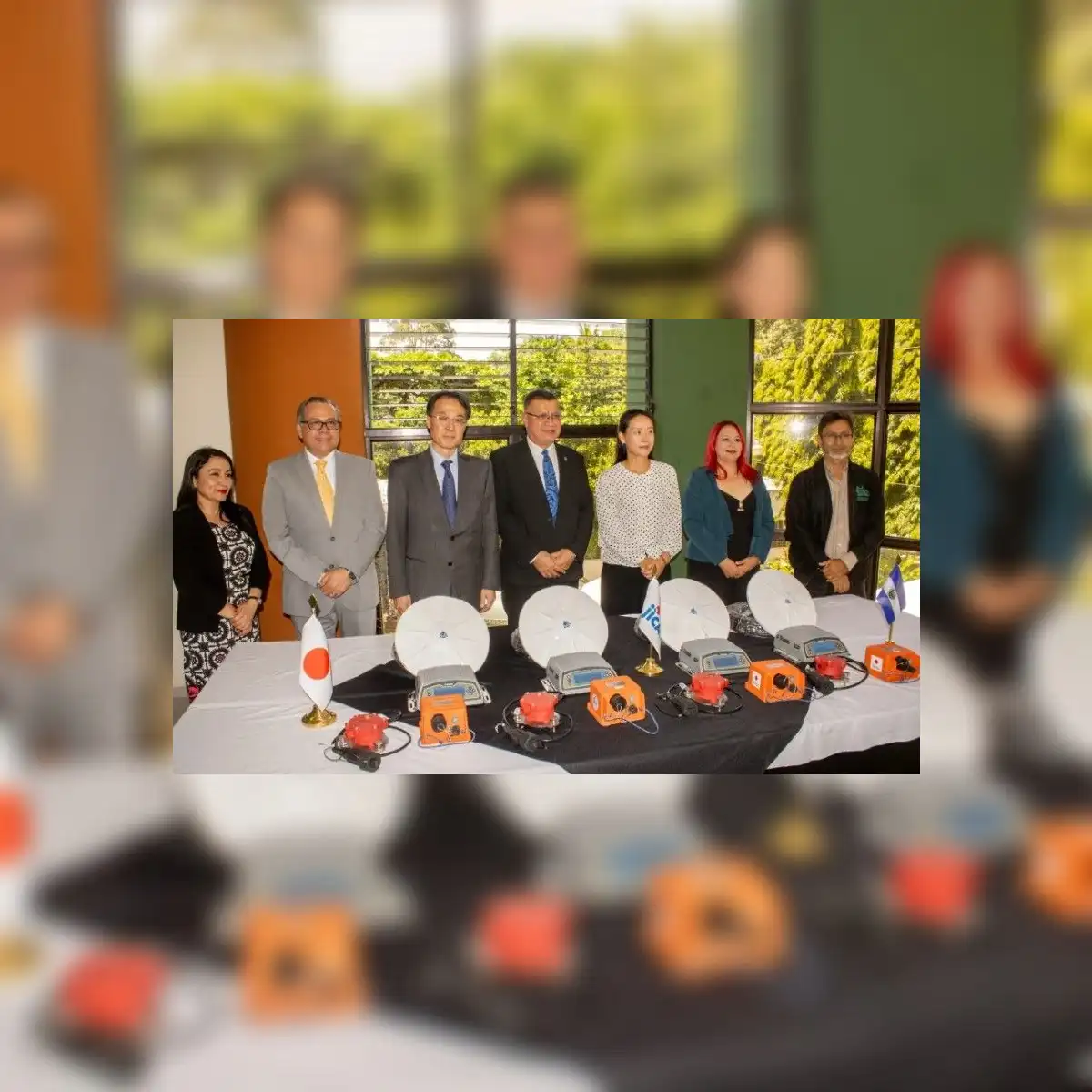
Because the underwater units lack real-time data transmission capabilities, technicians will retrieve the instruments after one year in 2028 to extract and analyze accumulated seismic recordings. The ocean floor observers are designed to record microtremors and complex tectonic events, including slow crustal slip at the point where the plates converge.
Miguel Hernandez Martinez, coordinator of geological engineering at the University of El Salvador, detailed the procedure for recovering the submerged equipment. Hernandez Martinez explained that team members will deactivate the heavy iron anchors using acoustic commands transmitted from the surface, allowing the floating seismometers to rise to the ocean surface for retrieval.
In addition to the deep-sea instruments, the monitoring network will incorporate four MCSEIS-AT geophones manufactured by Atoms and four Global Navigation Satellite System receivers to track minimal ground displacement. The network will also integrate Distributed Acoustic Sensing technology across 52 kilometers of fiber-optic cable belonging to Salvadoran electrical transmission company ETESAL.
Geophones are acoustic ground sensors that detect sub-surface vibrations, while satellite receivers measure minute shifts in land elevation. Distributed Acoustic Sensing converts fiber-optic cables into continuous sensor arrays by detecting microscopic light reflections caused by seismic waves. Data collected across all network components will be processed at a dedicated computing center at the University of El Salvador to improve risk assessment for earthquakes and tsunamis.
International SATREPS partnership
The seismic research initiative is being conducted under the Science and Technology Research Partnership for Sustainable Development program, known as SATREPS. The international alliance brings together the University of El Salvador, the National Autonomous University of Mexico, Kyoto University, the Japan International Cooperation Agency, and the Japan Science and Technology Agency.
The SATREPS initiative is a Japanese government framework that links research institutions in Japan with international partners to address natural hazard risks and environmental challenges. Hiromi Nai, a representative of the Japan International Cooperation Agency, emphasized that advanced technology achieves its true value only when supported by researchers, teachers, and students who can apply the tools to generate real-world solutions for society.
Seismic gap and tsunami research
During preliminary geological studies, scientists identified a prolonged tectonic silence along the crust of the continental slope overlying the Caribbean plate. This designated seismic gap displays structural features typical of active tectonic zones but currently exhibits an unexpectedly low density of earthquake epicenters.
A seismic gap represents a segment of an active fault line that has remained quiet despite ongoing plate motion. While energy accumulation along such locked fault zones requires continuous scientific observation, Salvadoran authorities emphasized that the presence of the seismic gap does not indicate that a devastating earthquake is imminent.
Subduction of the Cocos plate creates constant exposure to seismic risks across El Salvador. Following the planned retrieval of the ocean bottom seismometers in 2028, scientific teams will combine the marine data with records from land-based stations to simulate tsunami scenarios. Juan Rosa Quintanilla, rector of the University of El Salvador, summarized the primary objective of the work, stating that the ultimate goal of the initiative is to help save lives.