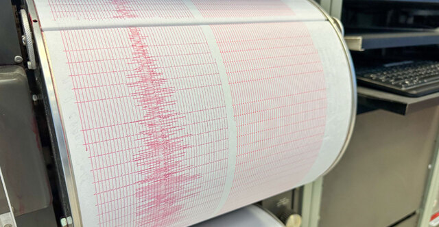
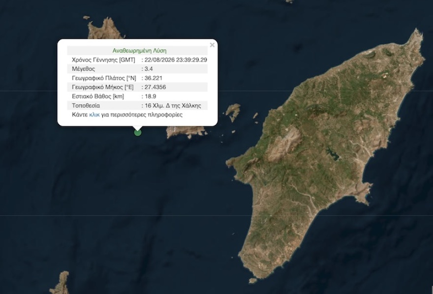
A 3.4 magnitude earthquake registered off the Greek island of Halki early on Sunday morning.
The seismic tremor occurred at 2:39 a.m. on Sunday, August 23, 2026. The epicenter was recorded 16 kilometers west of Halki.
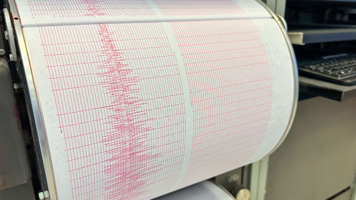
Seismological data indicates that the focal depth of the earthquake was located 18.9 kilometers beneath the seabed.
Geography of Halki
Halki is a small Greek island located in the Dodecanese archipelago in the southeastern Aegean Sea. The island lies approximately six kilometers west of Rhodes, the largest island in the island chain.

Forming part of the South Aegean administrative region of Greece, Halki covers a small land area characterized by rugged terrain and a single harbor settlement at Nimborio.

Understanding seismic measurements
In seismology, the epicenter refers to the point on the surface of the Earth directly above the focus of an earthquake. The focal depth, or hypocenter, measures the depth beneath the surface where the rupture originates.

An earthquake with a focal depth of 18.9 kilometers is categorized as a shallow event within the upper crust. Shallow marine earthquakes release seismic energy relatively close to the seabed surface.
The Richter scale measures the energy released by an earthquake. Events measuring 3.4 on the scale are classified as minor seismic activity.

Seismic activity in the Aegean region
The Aegean Sea is among the most seismically active regions in Europe. The area sits near the Hellenic Arc, where the African tectonic plate slowly subducts beneath the Aegean microplate.
These complex tectonic movements regularly produce low to moderate magnitude tremors across the Dodecanese islands and the wider southeastern Aegean basin.