Meteorologist Mar Gomez has warned that the polar vortex could split between November 4 and November 10, potentially bringing early Arctic cold across Europe.
Forecast models indicate that a sudden stratospheric warming event may weaken, displace, or divide the circulation, an occurrence that would mark the earliest such disturbance ever observed in historical weather records.
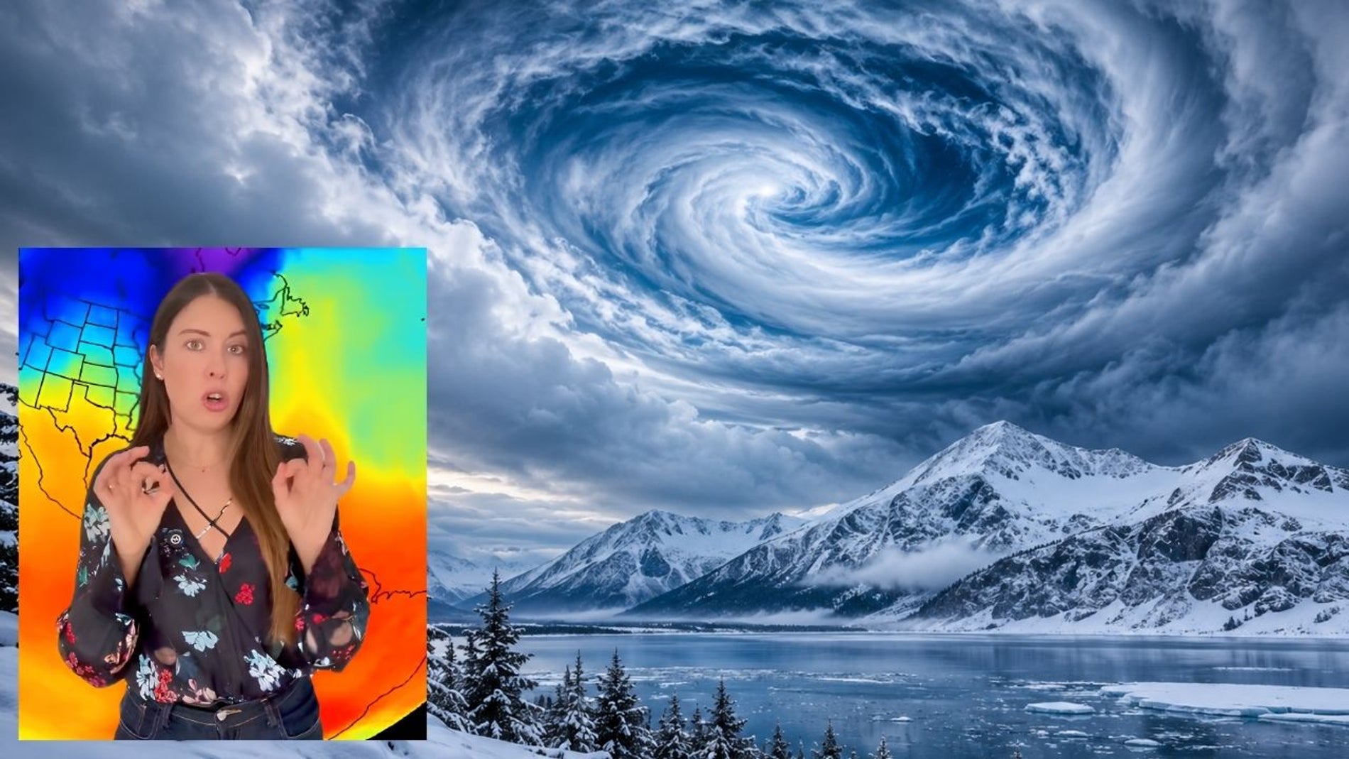
According to Gomez, a meteorologist for the weather platform ElTiempo.es, no major sudden stratospheric warming has ever taken place before November 28 since comparable record-keeping began. If confirmed, this disruption would set an unprecedented seasonal record and could alter the start of the European winter.
Mechanisms behind the polar vortex
The polar vortex is a massive system of circulating cold air that forms in the stratosphere roughly 30 kilometres above the Arctic. In its normal state, the vortex acts as a containment barrier, keeping freezing polar air locked over the high latitudes.
An intense spike in stratospheric temperatures threatens that delicate balance. The warming weakens the circulating winds to the point where they can reverse direction entirely, causing the core of the vortex to fracture into two distinct systems.
The stratosphere sits directly above the troposphere, the lowest atmospheric layer where day-to-day weather happens. While stratospheric disturbances develop tens of kilometres above ground level, major disruptions there can cascade downward over subsequent weeks and alter surface weather patterns across the Northern Hemisphere.
Influence of El Nino and global climate patterns
The potential vortex rupture coincides with a very intense El Nino event in the Pacific Ocean. El Nino is a natural climate pattern defined by abnormal warming of surface waters in the central and eastern equatorial Pacific, which can generate powerful atmospheric wave activity capable of destabilising polar winds.
Gomez stressed, however, that scientists cannot yet directly attribute this specific stratospheric event to El Nino. While the ocean pattern often influences global weather, proving a direct causal connection to an individual stratospheric disruption requires further observation and analysis.
The unusual timing comes as broader climatic conditions grow increasingly erratic. Global warming and the climate emergency are altering the energy balances and major circulation systems that govern both the atmosphere and the oceans, making long-range forecasts increasingly volatile.
Anticipated weather impacts across Spain and Europe
Should the vortex divide, cold air masses from the Arctic could spill southward across Europe. That displacement would raise the risk of severe cold spells in various parts of the continent, ushering in harsh winter conditions well before their typical arrival.
Gomez reassured the public that a polar vortex rupture does not automatically guarantee a cold snap in Spain. While cold Arctic air could reach the Iberian peninsula ahead of schedule, the exact track of individual air masses depends on regional pressure systems that develop closer to the surface.
The prospect of early winter cold arrives during an unusually mild November in Spain, where temperatures remain high enough for people to wear short sleeves and shorts outdoors. Winter coats remain packed away in closets across much of the country, as wearing one in current conditions would cause heavy perspiration.
Limits of atmospheric forecasting
Spanish weather has nevertheless shown acute volatility within short periods. Conditions can feel warm at midday before temperatures tumble suddenly by the evening, leaving residents reaching unexpectedly for an extra layer of clothing.
Such rapid shifts highlight the fundamental nature of weather prediction. Meteorology relies on physics and thermodynamics, yet forecasters cannot predict outcomes with absolute certainty because the atmosphere is inherently complex and chaotic.
Small variations in temperature, atmospheric pressure, humidity, wind, cloud cover, and ocean currents can drastically change the final outcome projected by experts. Despite the use of sophisticated mathematical and statistical models, forecasters continue to track the polar stratosphere closely to see whether the historic rupture fully materialises.