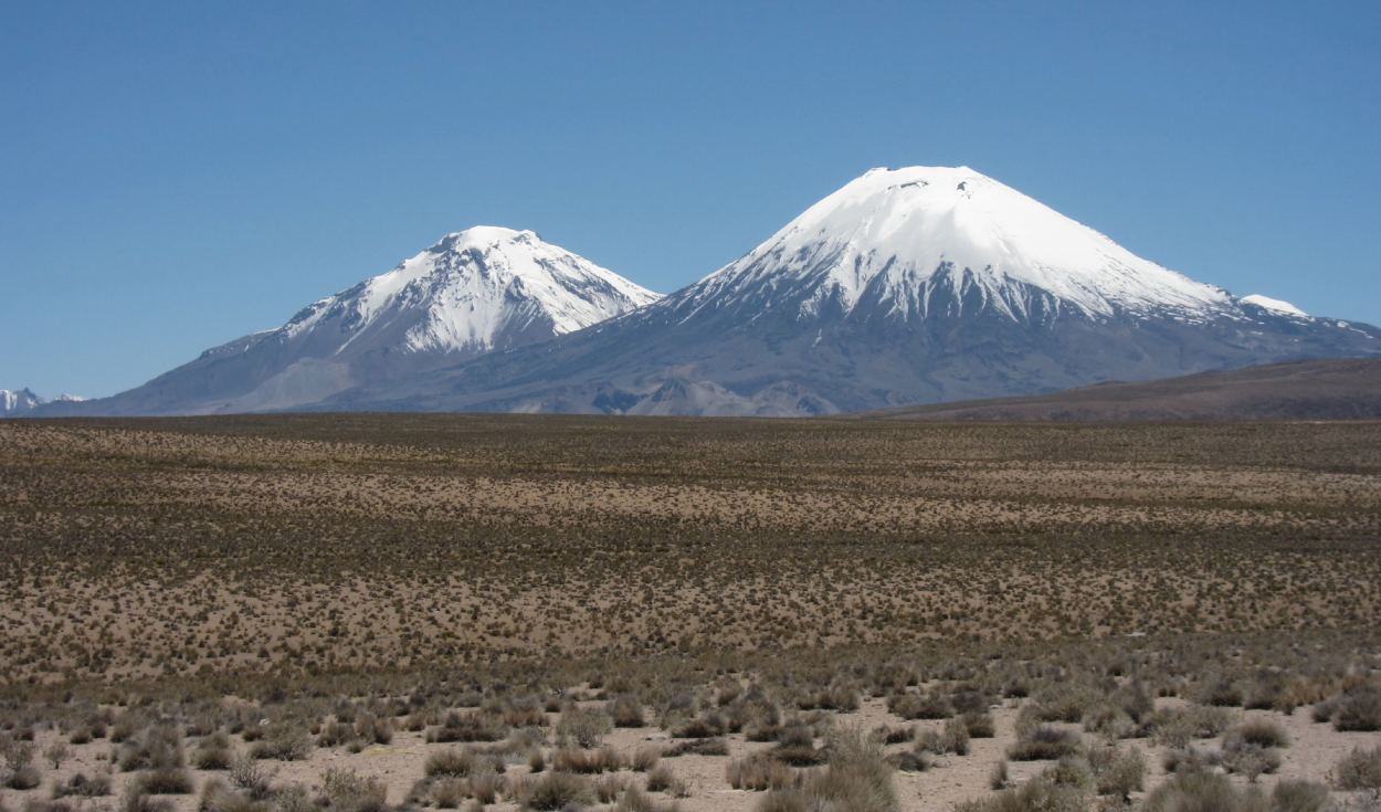
A volcanic eruption in northern Chile 21.9 million years ago buried an entire landscape under a layer of rock up to a kilometre thick in places, preserving a detailed record of the ancient shape of the Andes mountains, according to a new study led by researchers at University College London (UCL).
The deposit came from the Lauca caldera and eventually spread across an area the researchers say was six times larger than Santiago de Chile and almost three times the size of Greater London. The study, published in the journal Science Advances, compares the event to Pompeii, the ancient Roman city buried by the eruption of Mount Vesuvius, but on a far greater scale. Instead of burying a city, the eruption entombed a whole landscape in a mix of ash, rock fragments and volcanic gases.
How the eruption buried an entire landscape
The Lauca caldera eruption produced a vast sheet of ignimbrite, a type of volcanic rock formed from material ejected during major eruptions. In some sectors the resulting layer reached a full kilometre in thickness.
That volcanic blanket effectively became a natural record. Although the landscape beneath it has been hidden from view for millions of years, its original shape left traces in the structure of the deposit itself. To read those traces, the scientists turned to computer models to reconstruct what the surface likely looked like before the eruption buried it.
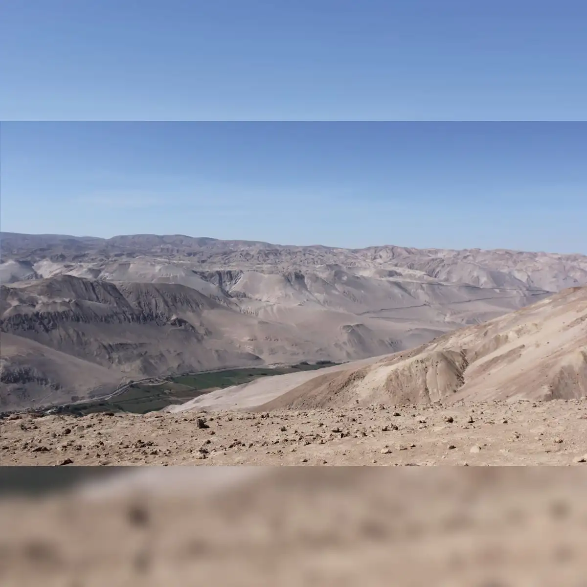
Byron Adams, a UCL researcher and the study's lead author, said the team could not simply dig down to see the buried landscape. Instead, he said, they used the shape of the volcanic mantle together with established knowledge of how rivers carve and shape mountains to work out what lies hidden beneath the rock.
A mountain landscape trapped under volcanic rock
To test their ideas, the researchers generated hundreds of possible versions of the ancient terrain and simulated how rivers would have reshaped each one over time. They then compared those simulated landscapes against the actual features of the volcanic layer above.
Only surfaces with relatively low relief matched the geometry preserved beneath the ignimbrite, the team found. The reconstruction points to a landscape resembling piedmont terrain, with moderate slopes and mountains that were not especially steep. A much more rugged relief, the researchers said, would have produced slopes too steep to fit the shape recorded in the volcanic rock.
What the buried landscape reveals about the Andes' growth
Because the shape of the buried terrain survived intact, the researchers were able to estimate how quickly the rock in that part of the range had been rising before the eruption. They calculated an uplift rate of up to 0.26 kilometres per million years, equivalent to roughly 2.5 centimetres per century, pointing to a slow, sustained rise sustained over millions of years rather than a sudden surge.
Adams said the approach offers a new way to study Earth's history. He explained that current methods for estimating how fast mountains form rely on chemical clocks locked inside rock, which only capture specific moments in time. The new method, he said, can instead estimate rock uplift across a much longer stretch of time.
The findings support the idea that the Andes grew gradually over tens of millions of years, rather than rising very slowly for most of their history before a rapid surge in the last six to ten million years, as some earlier theories have proposed. The study's authors said their uplift estimate also matches earlier research based on minerals that record the temperature changes associated with rock rising toward the surface.