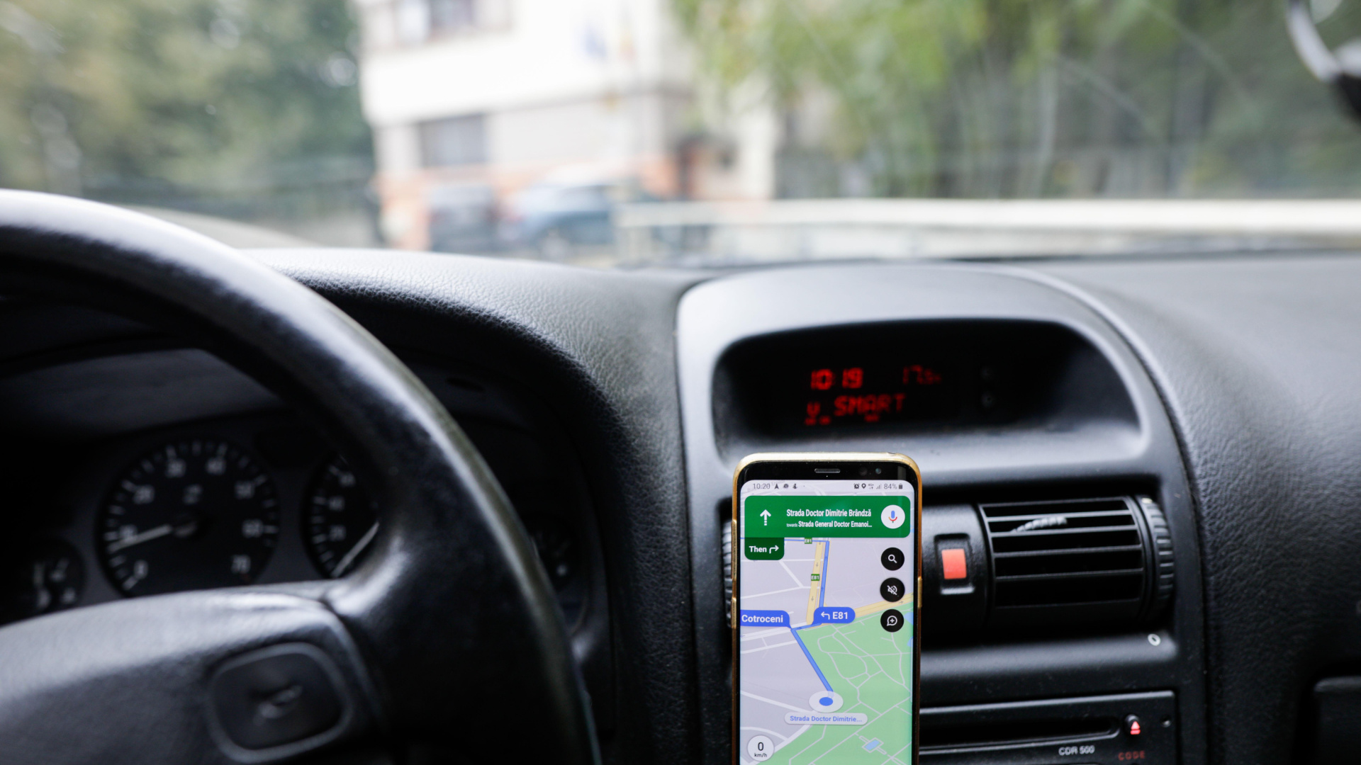
Google Maps has a built-in setting that stops the app from losing navigation signal inside tunnels, such as the M-30 ring road in Madrid, but it is switched off by default and many drivers never turn it on.
Losing GPS signal when entering a tunnel is a common problem on motorways and in large cities. At the most critical moment of a journey, the phone screen freezes, the route arrow stops moving and the app's voice guidance stops giving accurate directions.
Google Maps is Google's mapping and turn-by-turn navigation app, widely used by drivers for real-time directions and traffic information.
The secret to keeping a signal inside a tunnel
Many people do not realise that navigation apps include settings designed specifically to prevent loss of coverage in underground stretches of road. The recommendation highlighted is to turn on this hidden setting so drivers never lose their bearings behind the wheel.
The trick relies on an internal tool that is not switched on by default. That means even drivers who use the app every day for their journeys need to go into the settings menu manually and tick the relevant box to benefit from it while driving.
How the tunnel beacon system works
To keep tracking a driver's location without interruption underground, Google Maps uses a specific wireless signalling system. Turning the setting on gives the app permission to use these beacons so that the connection is not lost while inside a tunnel.
When the option is switched off, the app relies solely on the usual GPS signal, which tends to cut out completely under structures made of concrete or rock. Once the app is granted the necessary permission, it can keep tracking the driver's position in real time, so the route keeps guiding them without sudden gaps or loss of orientation.
Drivers need to give Google Maps permission to use the beacons available in some tunnels, including the M-30 in Madrid.
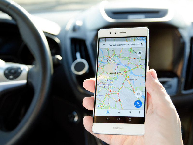
Step-by-step: how to turn on the feature
Setting it up takes only a few seconds and is done directly from the app's main interface on a smartphone. The process breaks down into the following steps.
- Open the app and go to the Maps profile by tapping the photo or user icon in the top corner of the screen.
- Select "Settings" from the drop-down menu.
- Go to the "Navigation" section to find the driving guidance tools.
- Scroll down to the bottom of the screen until reaching the "Bluetooth tunnel beacons" option.
- Turn on the switch to grant the app the permission it requires.

Checking these navigation settings before setting off, or when driving on unfamiliar routes, can make the difference between a stressful drive and a smooth journey. The setting stops the system losing sync while underground, which matters when a tunnel has exits or forks inside it.
Taking a minute to check this box in the navigation menu lets the app keep responding properly at all times. With this simple change, losing coverage underground stops being a problem, letting drivers keep their attention on the road.